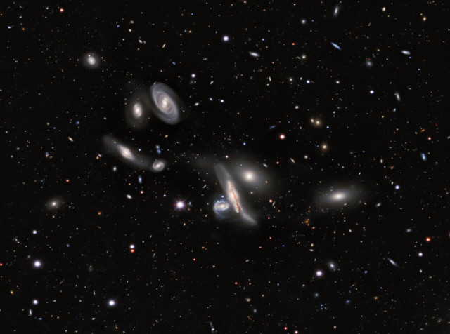
The DESI Legacy Imaging Surveys team has released the largest 2D map of the universe. Consisting of 5.6 trillion pixels, this map includes nearly 4 billion celestial objects, ranging from asteroids to galaxies, as well as other objects such as stars, black holes, and more. It’s a vast archive spanning approximately three-quarters of the sky, useful for astronomical studies requiring information at optical and near-infrared frequencies. This result isn’t the final one, as the map will be used to determine the distances to objects such as quasars to construct a new map, this time 3D.
Three different astronomical surveys produced most of the 263,407 images that were combined to construct this map. Previous versions were already published and, although inferior, were already used in studies published in over 1,800 scientific papers.
The Dark Energy Camera Legacy Survey (DECaLS) was conducted using the Dark Energy Camera (DECam), an instrument built to investigate cosmological mysteries such as dark matter and dark energy, and it also contributes to other important investigations. The Mayall z-band Legacy Survey (MzLS) was conducted using the Mayall telescope in Arizona. The Beijing-Arizona Sky Survey (BASS) was conducted with the Nicholas U. Mayall 4-meter Telescope at Kitt Peak National Observatory, supplemented by data collected with NASA’s Wide-field Infrared Survey Explorer (WISE) space telescope.
This new version of the map, the largest 2D map of the universe to date, was made public to aid astronomers in various studies. The database is accessible through the Astro Data Lab, an NSF NOIRLab program specifically designed to facilitate access and analysis of datasets such as those produced by this project.
This is certainly not the first map of the universe, but each new survey that produces such a vast archive can offer significant assistance to various types of studies. The DESI (Dark Energy Spectroscopic Instrument) team completed the original five-year survey in April 2026, ahead of schedule and with more objects than expected among the results. This once again proves the quality of an instrument that has already contributed to various studies and is now contributing to a map that will be used for many years.
What was defined as essentially a deep photograph of the sky represents an important step that will be used to obtain the next map, a 3D one. In recent months, the first map of this type has already been presented, and work continues to improve this result. Knowing the distances to various objects is a further aid to various cosmological studies.
The DESI project was created to investigate mysteries such as dark matter and dark energy. This is one of the cases where knowing the distances between objects like galaxies is useful, for example, to understand the evolution of star clusters and thus the influence of the mysterious dark energy. Some models predict that this mysterious energy does not exist at all, while others predict that it has changed over time. The results of these astronomical investigations will help uncover these fundamental secrets of the universe.
