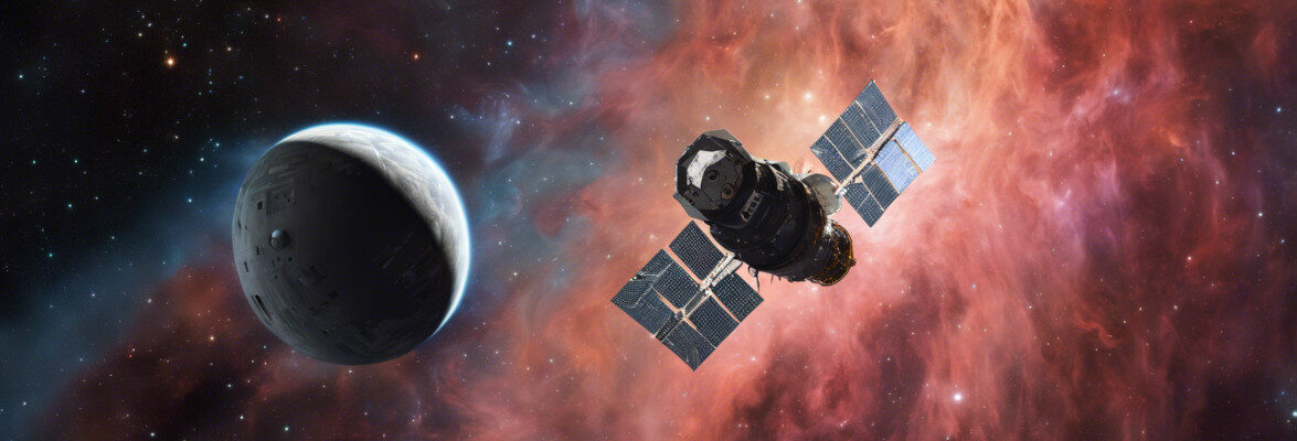

It was morning in California when the Jason-3 satellite was launched on a SpaceX Falcon 9 rocket from the Vandenberg U.S. Air Force Base. After nearly an hour it separated from the rocket’s upper stage and started deploying its solar panels. It will operate from a low Earth orbit of polar type, which means that it will pass over the poles, with an altitude between 1,328 and 1,380 kilometers (825 to 860 miles).
The Jason-3 mission continues the ones conducted since the beginning of the ’90s bringing the measurements of the ocean levels to an even greater accuracy than the previous satellites. Climate changes are also felt with oceans whose levels are rising and there are more and more violent events. Information on the levels and patterns of water circulation are precious to understand these changes and to be ready for emergencies.
NASA, the French space agency CNES, NOAA (National Oceanic and Atmospheric Administration) and EUMETSAT (European Organisation for the Exploitation of Meteorological Satellites) collaborated on the Jason-3 mission and keep on running the previous mission, Jason-2. Between 1992 and 2006, NASA and CNES ran the TOPEX/Poseidon mission together, the first satellite that was designed to map the topography of the ocean surface, and between 2001 and 2013 ran together the following mission, Jason-1.
Like the previous Jason satellites, the new spacecraft was built using the satellite bus called Proteus, a standard developed by CNES and Thales Alenia Space, which built them, for spacecraft having a relatively small mass, around 500 kg (1,100 lbs) or a little more.
The Jason-3 satellite has five main instruments on board that will allow it to pursue its mission. The main instrument is the Poseidon-3B altimeter, developed by CNES as an evolution of the altimeter on the Jason-2 satellite. Three instruments, Doppler Orbitography and Radiopositioning Integrated by Satellite (DORIS), Global Positioning System Payload (GPSP) and Laser Retroreflector Array (LRA), complement each other to allow the spacecraft to measure continuously its position in orbit with a precision of 1-2 centimeters.
On the satellite there’s also the Advanced Microwave Radiometer (AMR) instrument, developed by NASA to measure the radiation arriving from the Earth’s surface, and two dosimeters: CARMEN-3 (Characterization and Modeling of Environment), developed by CNES, and Light Particle Telescope (LPT), provided by JAXA, the Japanese space agency. The dosimeters will allow to make measurements of the radiation in the orbit of the satellite Jason-3.
The Falcon 9 rocket is in its 1.1 configuration, not the latest evolution called 1.2 used almost a month ago. However, the landing of the first stage was still performed but in California there was no ground area it could land so SpaceX chose to use again one of its autonomous spaceport drone ships, the “Just Read the Instructions”.
The first stage almost perfectly hit the center of the drone ship but there was a problem with one of the legs, which didn’t lock properly. The result was that it tipped over and the remaining fuel exploded. The hypothesis is that ice formed because of the moisture, much more intense than normal due to heavy fog. Too bad but if they found a vulnerability in the landing system it was a positive result for the last mission of the version 1.1 of the Falcon 9.
The primary mission was to launch the Jason-3 satellite and it was a perfect success. After almost three weeks of orbital adjustments, it’s scheduled to start its operations to last at least three years with the goal to reach five years. The hope is to reach a total of 30 years of collecting satellite data about the oceans. Those data will be crucial to understand the changes taking place in the oceans, for sea weather forecasting and to keep an eye on dangerous phenomena, from normal storms to the most violent hurricanes.
Elon Musk posted on Instagram a video of the Falcon 9 first stage landing.

Permalink
Two problems here.
“Climate changes are also felt with oceans whose levels are rising”
Sea levels are not rising by any appreciable amount. The best science is showing a little over 1 mm per year. With the satellite’s margin of error, it will take over a decade — beyond the satellite’s expected life — to show any sea level rise at all.
“and there are more and more violent events.”
Actually, there are FEWER violent events.
Permalink
Are all sea levels rising at the same rate? Satellites such as Jason-3 can tell us that as well.
As for violent events, for example the National Climate Assessment begs to differ: http://nca2014.globalchange.gov/report/our-changing-climate/changes-hurricanes